

AQSCAN
Power in Every SCAN
Why Choose AQSCAN SLAM & LiDAR Solutions?
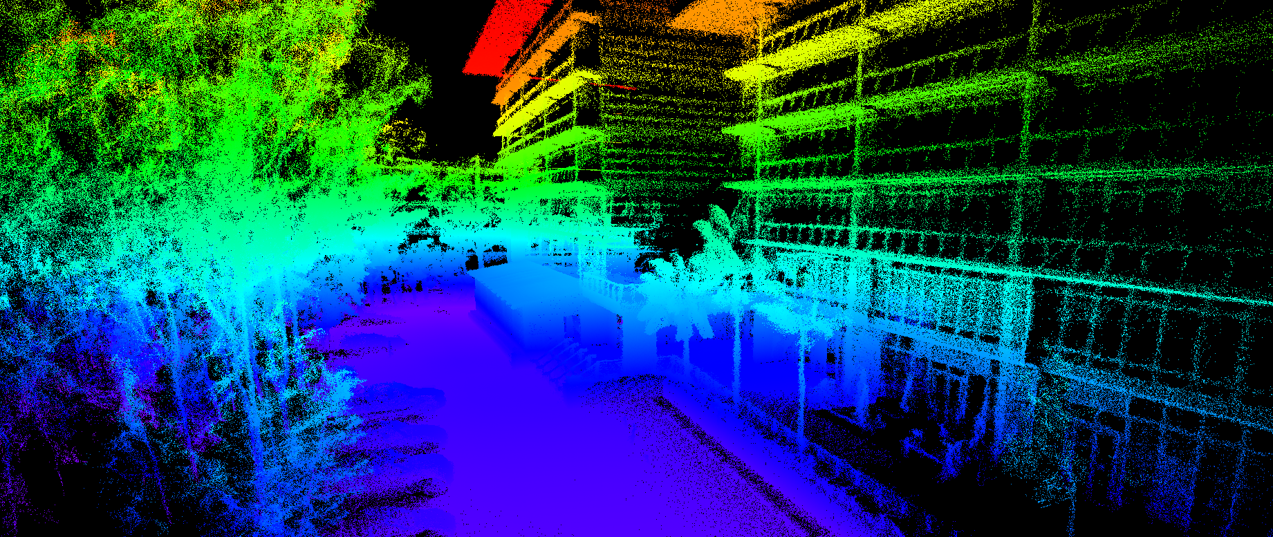
Traditional Terrestrial Laser Scanners (TLS) require slow, repetitive tripod setups, while standard mobile mapping relies heavily on uninterrupted GNSS/GPS satellite signals. AQSCAN eliminates these bottlenecks through advanced sensor fusion—combining high-density LiDAR, Visual SLAM cameras, industrial Inertial Measurement Units (IMU), and RTK-GNSS inside lightweight, versatile platforms.
10x Faster Site Documentation: Reduce on-site data capture time by 80% to 90% compared to static scanning, turning a three-day tripod survey into a 45-minute site walk.
Sub-Centimeter Accuracy Anywhere: Generate accurate, real-time 3D geometry in complex, dynamic, and GPS-denied environments where conventional tools fail.
Seamless Air-to-Ground Data Fusion: Combine UAV aerial LiDAR, thermal imaging, and photogrammetry with indoor and underground handheld SLAM.
Digital Twin & BIM Compliance: Meet strict federal, state, and Tier-1 engineering mandates for continuous 3D as-built verification and Building Information Modeling (BIM).
Core Services & Commercial Applications
Our services, hardware, and software ecosystems are engineered to deliver immediate operational value across six core capabilities:
1. As-Built Documentation & Scan-to-BIM
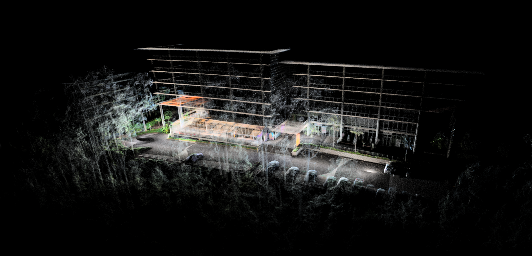
Rapidly walk through multi-story buildings, complex plant rooms, and heritage structures to produce verified 2D floorplans and 3D CAD/Revit models without manual tape or laser measurement errors.
2. Underground Mining & Confined Space Mapping
Capture centimeter-accurate geometry in subterranean shafts, stope voids, tunnels, culverts, and utility vaults with zero reliance on satellite connectivity.
3. Quarry Stockpile & Earthworks Volumetrics. Walk, drive, or fly over bulk aggregate stockpiles and excavation zones to compute fast, audited cubic volumes safely and efficiently.
4. Construction Progress & QA/QC Verification
Conduct regular site walkthroughs to overlay real-time point clouds against 3D design models—identifying structural tolerances and MEP clashes early to prevent costly rework.
5. Forestry, Utilities & Corridor Asset Inventories
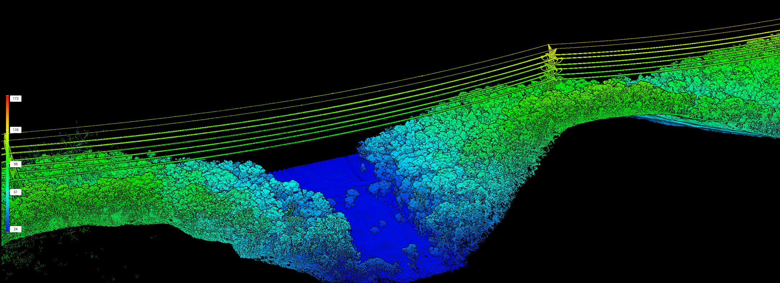
Map timber canopy density, trunk diameter (DBH), powerline vegetation encroachment, and municipal road corridors at walking or vehicle speeds.
6. Public Safety, Emergency Response & Forensics
Preserve structural collapses, industrial incidents, and traffic collisions in full 3D within minutes without disrupting time-sensitive emergency operations.
Industries We Serve
AQSCAN provides tailored spatial solutions across high-demand enterprise sectors:
Industry Sector Key Applications & Value
Architecture, Engineering & Construction (AEC)
Eliminates manual measurement errors and cuts site documentation time by up to 10x for Tier 1–3 builders and BIM managers.
Surveying & Geospatial Consultancies
Complements existing static TLS and GNSS fleets to unlock profitable indoor, heritage, and underground tenders.
Mining, Quarrying & Natural Resources
Delivers safe, rapid volumetric audits and stope mapping in hazardous, GPS-denied underground shafts.
Facilities Management & Commercial Real Estate
Creates accurate digital twins for floor-space leasing, industrial plant retrofits, and ongoing MEP maintenance.
Utilities, Civil Infrastructure & Government
Enables high-speed auditing of bridges, stormwater networks, rail corridors, and electrical substations.
Enterprise Drone & Robotics Providers
Bridges the gap between aerial UAV LiDAR/photogrammetry and indoor/subterranean SLAM mapping.Hardware, Software & Partner Enablement
Beyond field services, AQSCAN equips enterprise teams and channel partners with turnkey hardware and software ecosystems backed by local Australian engineering support.
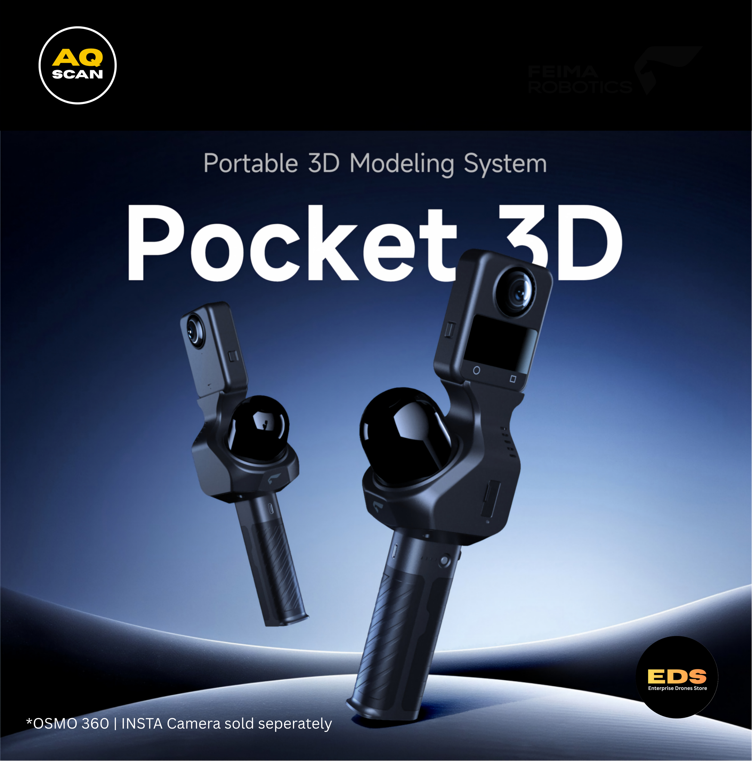
World-Class Hardware Ecosystems: Handheld SLAM scanners, multi-platform mounting accessories, and aerial LiDAR and thermal drones from DJI, Feima Robotics, XGRID, and FJD.
Turnkey Technical Certification: Comprehensive hands-on training covering field data capture, RTK initialisation, and Scan-to-BIM processing workflows.
Dedicated Australian Support: Direct access to local engineering and business development teams across Sydney, Melbourne, Brisbane, Perth, and New Zealand, backed by 24/7/365 phone and email support.
Ready to Transform Your Spatial Data Workflow? Whether you need rapid on-site 3D reality capture, turnkey hardware and software integration, or strategic partner onboarding, our team is ready to support your next project.


Hi, thanks for reaching out to AQSCAN Complete your project details here so we can build your custom SLAM/LiDAR quote